
Thank you for supporting this site ❤️
Make a donation
Make a donation
Tundla topographic map
Click on the map to display elevation.
Thank you for supporting this site ❤️
Make a donation
Make a donation
About this map
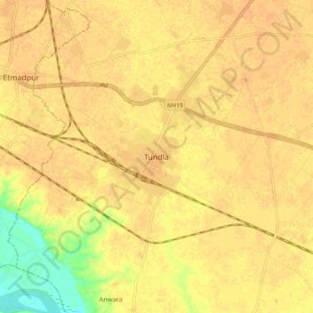
Name: Tundla topographic map, elevation, terrain.
Location: Tundla, Firozabad, Uttar Pradesh, 283204, India (27.17329 78.19711 27.25329 78.27711)
Average elevation: 166 m
Minimum elevation: 143 m
Maximum elevation: 171 m
Thank you for supporting this site ❤️
Make a donation
Make a donation