
Thank you for supporting this site ❤️
Make a donation
Make a donation
Mbaba topographic map
Click on the map to display elevation.
Thank you for supporting this site ❤️
Make a donation
Make a donation
About this map
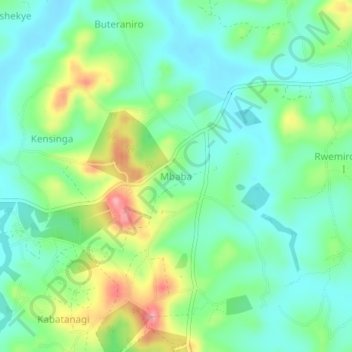
Name: Mbaba topographic map, elevation, terrain.
Location: Mbaba, Kazo, Western Region, Uganda (-0.11387 30.67996 -0.07387 30.71996)
Average elevation: 1,284 m
Minimum elevation: 1,247 m
Maximum elevation: 1,365 m
Thank you for supporting this site ❤️
Make a donation
Make a donation
Other topographic maps
Click on a map to view its topography, its elevation and its terrain.