
Thank you for supporting this site ❤️
Make a donation
Make a donation
Cartasegna topographic map
Click on the map to display elevation.
Thank you for supporting this site ❤️
Make a donation
Make a donation
About this map
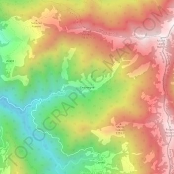
Name: Cartasegna topographic map, elevation, terrain.
Location: Cartasegna, Carrega Ligure, Alessandria, Piemonte, Italia (44.61871 9.15389 44.65871 9.19389)
Average elevation: 1,150 m
Minimum elevation: 615 m
Maximum elevation: 1,649 m
Thank you for supporting this site ❤️
Make a donation
Make a donation