
บ้านนางัว topographic map
Interactive map
Click on the map to display elevation.
About this map
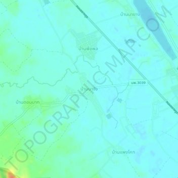
Name: บ้านนางัว topographic map, elevation, terrain.
Location: บ้านนางัว, Nakhon Phanom, Thailand (17.94257 104.17222 17.98257 104.21222)
Average elevation: 152 m
Minimum elevation: 145 m
Maximum elevation: 184 m
Other topographic maps
Click on a map to view its topography, its elevation and its terrain.
นครพนม
นครพนม, หนองญาติ, Nakhon Phanom, 48000, Thailand
Average elevation: 147 m