
Kaihua County topographic map
Interactive map
Click on the map to display elevation.
About this map
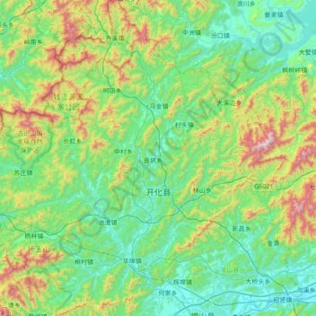
Name: Kaihua County topographic map, elevation, terrain.
Location: Kaihua County, Quzhou, Zhejiang, China (28.90526 118.02241 29.50035 118.63219)
Average elevation: 378 m
Minimum elevation: 65 m
Maximum elevation: 1,468 m