
Provincia de Angaraes topographic map
Interactive map
Click on the map to display elevation.
About this map
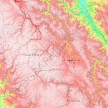
Name: Provincia de Angaraes topographic map, elevation, terrain.
Average elevation: 4,320 m
Minimum elevation: 3,988 m
Maximum elevation: 4,549 m