
Hengelo topographic map
Interactive map
Click on the map to display elevation.
About this map
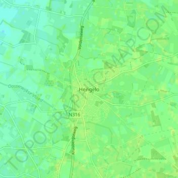
Name: Hengelo topographic map, elevation, terrain.
Location: Hengelo, Gelderland, Nederland, 7255, Nederland (52.03228 6.29126 52.07228 6.33126)
Average elevation: 14 m
Minimum elevation: 8 m
Maximum elevation: 18 m