
Río Bogotá topographic map
Interactive map
Click on the map to display elevation.
About this map
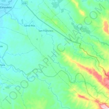
Name: Río Bogotá topographic map, elevation, terrain.
Location: Río Bogotá, San Lorenzo, Esmeraldas, Ecuador (0.98291 -78.77184 1.12843 -78.60972)
Average elevation: 117 m
Minimum elevation: 9 m
Maximum elevation: 564 m