
Thank you for supporting this site ❤️
Make a donation
Make a donation
El Bosque topographic map
Click on the map to display elevation.
Thank you for supporting this site ❤️
Make a donation
Make a donation
About this map
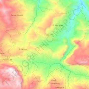
Name: El Bosque topographic map, elevation, terrain.
Location: El Bosque, Chiapas, Mexico (16.95383 -92.82550 17.09619 -92.64628)
Average elevation: 1,315 m
Minimum elevation: 339 m
Maximum elevation: 2,472 m
Thank you for supporting this site ❤️
Make a donation
Make a donation