
Thank you for supporting this site ❤️
Make a donation
Make a donation
Grijo topographic map
Click on the map to display elevation.
Thank you for supporting this site ❤️
Make a donation
Make a donation
About this map
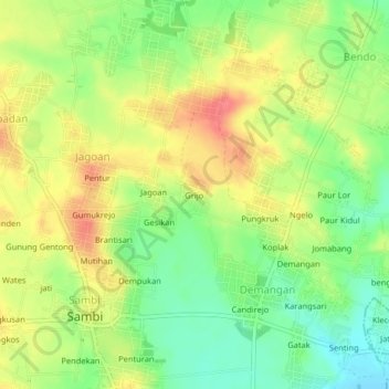
Name: Grijo topographic map, elevation, terrain.
Location: Grijo, Sambi, Boyolali, Jawa Tengah, Jawa, 57376, Indonésia (-7.49349 110.68657 -7.45349 110.72657)
Average elevation: 174 m
Minimum elevation: 141 m
Maximum elevation: 207 m
Thank you for supporting this site ❤️
Make a donation
Make a donation