
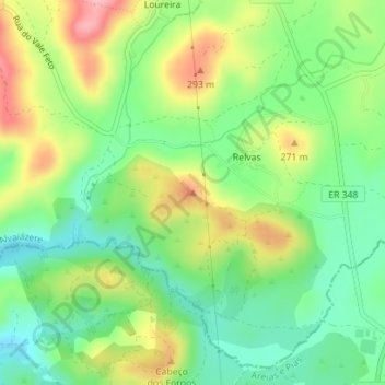
Relvas topographic map
Interactive map
Click on the map to display elevation.
About this map
Name: Relvas topographic map, elevation, terrain.
Location: Relvas, Pussos São Pedro, Alvaiázere, Leiria, Centro, Portugal (39.76413 -8.38722 39.76423 -8.38712)
Average elevation: 229 m
Minimum elevation: 176 m
Maximum elevation: 308 m