
Thank you for supporting this site ❤️
Make a donation
Make a donation
Ban Nong Chaeng topographic map
Click on the map to display elevation.
Thank you for supporting this site ❤️
Make a donation
Make a donation
About this map
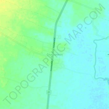
Name: Ban Nong Chaeng topographic map, elevation, terrain.
Location: Ban Nong Chaeng, Ban Phot, Phetchabun Province, Thailand (15.83841 100.99241 15.87841 101.03241)
Average elevation: 84 m
Minimum elevation: 77 m
Maximum elevation: 98 m
Thank you for supporting this site ❤️
Make a donation
Make a donation