
Thank you for supporting this site ❤️
Make a donation
Make a donation
Pawnee Station topographic map
Click on the map to display elevation.
Thank you for supporting this site ❤️
Make a donation
Make a donation
About this map
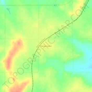
Name: Pawnee Station topographic map, elevation, terrain.
Location: Pawnee Station, Bourbon County, Kansas, United States (37.68004 -94.81135 37.72004 -94.77135)
Average elevation: 296 m
Minimum elevation: 273 m
Maximum elevation: 318 m
Thank you for supporting this site ❤️
Make a donation
Make a donation
Other topographic maps
Click on a map to view its topography, its elevation and its terrain.