
Tumtum topographic map
Interactive map
Click on the map to display elevation.
About this map
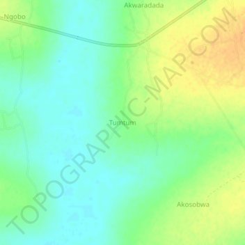
Name: Tumtum topographic map, elevation, terrain.
Location: Tumtum, Katakwi, Eastern Region, Ouganda (1.87928 34.01432 1.91928 34.05432)
Average elevation: 1,062 m
Minimum elevation: 1,049 m
Maximum elevation: 1,079 m
Other topographic maps
Click on a map to view its topography, its elevation and its terrain.
Lake Bisina
Lake Bisina, Kokorio, Katakwi, Eastern Region, Ouganda
Average elevation: 1,058 m