
Thank you for supporting this site ❤️
Make a donation
Make a donation
De Soto topographic map
Click on the map to display elevation.
Thank you for supporting this site ❤️
Make a donation
Make a donation
About this map
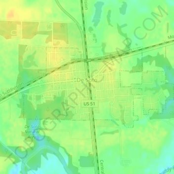
Name: De Soto topographic map, elevation, terrain.
Location: De Soto, Jackson County, Illinois, United States (37.81019 -89.24344 37.82266 -89.21086)
Average elevation: 120 m
Minimum elevation: 106 m
Maximum elevation: 130 m
Thank you for supporting this site ❤️
Make a donation
Make a donation
Other topographic maps
Click on a map to view its topography, its elevation and its terrain.