
Thank you for supporting this site ❤️
Make a donation
Make a donation
Ranchvale topographic map
Click on the map to display elevation.
Thank you for supporting this site ❤️
Make a donation
Make a donation
About this map
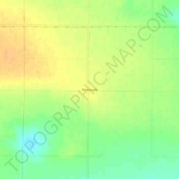
Name: Ranchvale topographic map, elevation, terrain.
Location: Ranchvale, Curry County, New Mexico, United States (34.47258 -103.33884 34.51258 -103.29884)
Average elevation: 1,361 m
Minimum elevation: 1,344 m
Maximum elevation: 1,373 m
Thank you for supporting this site ❤️
Make a donation
Make a donation
Other topographic maps
Click on a map to view its topography, its elevation and its terrain.