
Thank you for supporting this site ❤️
Make a donation
Make a donation
Lone Jack topographic map
Click on the map to display elevation.
Thank you for supporting this site ❤️
Make a donation
Make a donation
About this map
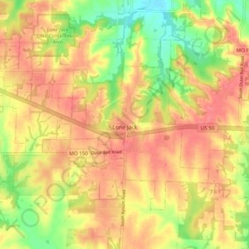
Name: Lone Jack topographic map, elevation, terrain.
Location: Lone Jack, Jackson County, Missouri, United States (38.84913 -94.22914 38.89354 -94.14572)
Average elevation: 296 m
Minimum elevation: 255 m
Maximum elevation: 322 m
Thank you for supporting this site ❤️
Make a donation
Make a donation