
Make a donation
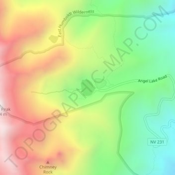
Angel Lake topographic map
Click on the map to display elevation.
Make a donation
Angel Lake
Angel Lake is a glacial tarn in the northern part of the East Humboldt Range, in central Elko County in the northeastern part of the state of Nevada. It is located at approximately 41°01.6′N 115°05.1′W / 41.0267°N 115.0850°W / 41.0267; -115.0850, and at an elevation of 8378 feet (2553 m). It has an area of approximately 13 acres (5.2 hectares), and a depth of up to 29 feet (9 m). A 12-mile (19 km) scenic highway, State Route 231, climbs from Interstate 80's exit 351 in Wells to the eastern shore of the lake.
Make a donation
About this map
Name: Angel Lake topographic map, elevation, terrain.
Location: Angel Lake, Elko County, Nevada, United States (41.02513 -115.08816 41.02765 -115.08545)
Average elevation: 2,672 m
Minimum elevation: 2,210 m
Maximum elevation: 3,225 m
Make a donation
Other topographic maps
Click on a map to view its topography, its elevation and its terrain.
Make a donation
Make a donation
Make a donation