
Kanab Creek topographic map
Interactive map
Click on the map to display elevation.
About this map
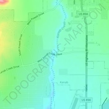
Name: Kanab Creek topographic map, elevation, terrain.
Location: Kanab Creek, Kanab, Kane County, Utah, 86074, USA (37.02908 -112.53479 37.02934 -112.53475)
Average elevation: 1,500 m
Minimum elevation: 1,466 m
Maximum elevation: 1,602 m