
Thank you for supporting this site ❤️
Make a donation
Make a donation
Montricher topographic map
Click on the map to display elevation.
Thank you for supporting this site ❤️
Make a donation
Make a donation
About this map
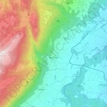
Name: Montricher topographic map, elevation, terrain.
Location: Montricher, District de Morges, Valdia, 1147, Suiza (46.57996 6.29704 46.62623 6.40901)
Average elevation: 935 m
Minimum elevation: 621 m
Maximum elevation: 1,639 m
Thank you for supporting this site ❤️
Make a donation
Make a donation