
Prairie Dog Town Fork Red River topographic map
Interactive map
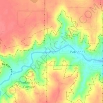
Click on the map to display elevation.
About this map
Name: Prairie Dog Town Fork Red River topographic map, elevation, terrain.
Average elevation: 1,074 m
Minimum elevation: 1,036 m
Maximum elevation: 1,099 m