
Thank you for supporting this site ❤️
Make a donation
Make a donation
Hennenkobel topographic map
Click on the map to display elevation.
Thank you for supporting this site ❤️
Make a donation
Make a donation
About this map
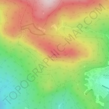
Name: Hennenkobel topographic map, elevation, terrain.
Location: Hennenkobel, Zwiesel, Landkreis Regen, Bayern, Deutschland (49.04502 13.18149 49.04512 13.18159)
Average elevation: 802 m
Minimum elevation: 592 m
Maximum elevation: 1,031 m
Thank you for supporting this site ❤️
Make a donation
Make a donation