
Thank you for supporting this site ❤️
Make a donation
Make a donation
Lookout topographic map
Click on the map to display elevation.
Thank you for supporting this site ❤️
Make a donation
Make a donation
About this map
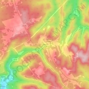
Name: Lookout topographic map, elevation, terrain.
Location: Lookout, Fayette County, West Virginia, 25868, United States (38.04539 -80.98843 38.08539 -80.94843)
Average elevation: 720 m
Minimum elevation: 577 m
Maximum elevation: 799 m
Thank you for supporting this site ❤️
Make a donation
Make a donation