
Thank you for supporting this site ❤️
Make a donation
Make a donation
Kou topographic map
Click on the map to display elevation.
Thank you for supporting this site ❤️
Make a donation
Make a donation
About this map
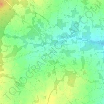
Name: Kou topographic map, elevation, terrain.
Location: Kou, Bakata, Ziro, 中西大區, 布基纳法索 (11.71657 -1.94117 11.75657 -1.90117)
Average elevation: 342 m
Minimum elevation: 326 m
Maximum elevation: 362 m
Thank you for supporting this site ❤️
Make a donation
Make a donation
Other topographic maps
Click on a map to view its topography, its elevation and its terrain.