
Thank you for supporting this site ❤️
Make a donation
Make a donation
Warisoulx topographic map
Click on the map to display elevation.
Thank you for supporting this site ❤️
Make a donation
Make a donation
About this map
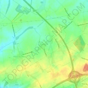
Name: Warisoulx topographic map, elevation, terrain.
Location: Warisoulx, La Bruyère, Namur, Wallonie, Belgique (50.52058 4.84153 50.54869 4.89853)
Average elevation: 182 m
Minimum elevation: 162 m
Maximum elevation: 205 m
Thank you for supporting this site ❤️
Make a donation
Make a donation