
Make a donation
Itaipu Dam topographic map
Click on the map to display elevation.
Make a donation
Itaipu Dam
325 metres (1,066 ft), entire dam including the 100 metres (330 ft) high Power Line 4 Pylons atop the Barrage 260 metres (850 ft), dam + the foundation inside water until the river floor 247 metres (810 ft), 196 metres (643 ft) high of roof reinforcement concrete dam + Cranes atop the Barrage 225 metres (738 ft), Elevation End Main Concrete Barrage
Make a donation
About this map
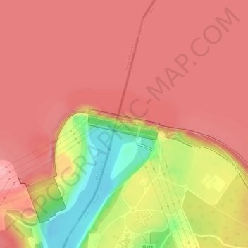
Name: Itaipu Dam topographic map, elevation, terrain.
Average elevation: 192 m
Minimum elevation: 93 m
Maximum elevation: 230 m
Make a donation
Other topographic maps
Click on a map to view its topography, its elevation and its terrain.
Itaipu Dam
Brazil > Paraná > Foz do Iguaçu
325 metres (1,066 ft), entire dam including the four 100 metres (330 ft) high Power Line Pylons atop the Barrage 260 metres (850 ft), dam barrage + the foundation inside water until the slope river floor 247 metres (810 ft), 196 metres (643 ft) high of roof reinforcement concrete barrage dam + Cranes atop the…
Average elevation: 203 m