
Thank you for supporting this site ❤️
Make a donation
Make a donation
Kampung Tiong topographic map
Click on the map to display elevation.
Thank you for supporting this site ❤️
Make a donation
Make a donation
About this map
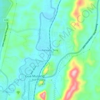
Name: Kampung Tiong topographic map, elevation, terrain.
Location: Kampung Tiong, Gua Musang, Kelantan, 18300, Malaysia (4.86966 101.95131 4.90966 101.99131)
Average elevation: 128 m
Minimum elevation: 77 m
Maximum elevation: 298 m
Thank you for supporting this site ❤️
Make a donation
Make a donation