
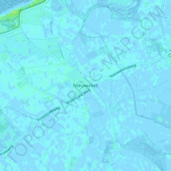
Nieuwvliet topographic map
Interactive map
Click on the map to display elevation.
About this map
Name: Nieuwvliet topographic map, elevation, terrain.
Location: Nieuwvliet, Sluis, Zeeland, Nederland, 4504, Nederland (51.35222 3.45235 51.39222 3.49235)
Average elevation: 1 m
Minimum elevation: -3 m
Maximum elevation: 12 m
Other topographic maps
Click on a map to view its topography, its elevation and its terrain.
St. Pierre
Nederland > Zeeland > Nieuwvliet
St. Pierre, Nieuwvliet, Sluis, Zeeland, Nederland, 4504 RZ, Nederland
Average elevation: 1 m