
Methipura topographic map
Interactive map
Click on the map to display elevation.
About this map
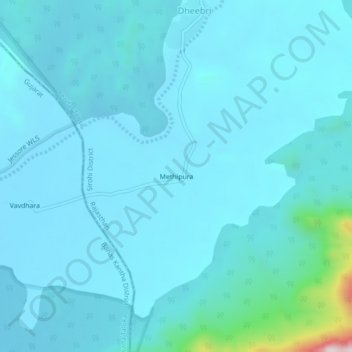
Name: Methipura topographic map, elevation, terrain.
Location: Methipura, Reodar Tehsil, Sirohi District, Rajasthan, India (24.41727 72.44363 24.45727 72.48363)
Average elevation: 280 m
Minimum elevation: 230 m
Maximum elevation: 834 m
Other topographic maps
Click on a map to view its topography, its elevation and its terrain.
Jolpur
India > Rajasthan > Reodar Tehsil > Jolpur
Jolpur, Reodar Tehsil, Sirohi, Rajasthan, India
Average elevation: 281 m
Mohabbatgarh
India > Rajasthan > Reodar Tehsil > Mohabbatgarh
Mohabbatgarh, Reodar Tehsil, Sirohi, Rajasthan, India
Average elevation: 283 m
Dantrai
India > Rajasthan > Reodar Tehsil
Dantrai, Reodar Tehsil, Sirohi District, Rajasthan, 307515, India
Average elevation: 294 m