
Rankin County topographic map
Interactive map
Click on the map to display elevation.
About this map
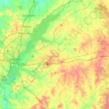
Name: Rankin County topographic map, elevation, terrain.
Location: Rankin County, Mississippi, United States of America (32.04695 -90.25062 32.59338 -89.72984)
Average elevation: 108 m
Minimum elevation: 63 m
Maximum elevation: 186 m