
Thank you for supporting this site ❤️
Make a donation
Make a donation
Sommet de Vottem topographic map
Click on the map to display elevation.
Thank you for supporting this site ❤️
Make a donation
Make a donation
About this map
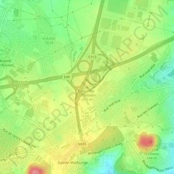
Name: Sommet de Vottem topographic map, elevation, terrain.
Location: Sommet de Vottem, Herstal, Liège, Wallonie, 4040, Belgique (50.67284 5.56971 50.67294 5.56981)
Average elevation: 180 m
Minimum elevation: 140 m
Maximum elevation: 226 m
Thank you for supporting this site ❤️
Make a donation
Make a donation
Other topographic maps
Click on a map to view its topography, its elevation and its terrain.