
Bingham County topographic map
Interactive map
Click on the map to display elevation.
About this map
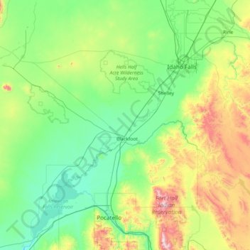
Name: Bingham County topographic map, elevation, terrain.
Location: Bingham County, Idaho, United States (42.86300 -113.00779 43.62663 -111.58597)
Average elevation: 1,580 m
Minimum elevation: 1,292 m
Maximum elevation: 2,766 m