
Thank you for supporting this site ❤️
Make a donation
Make a donation
Noatak topographic map
Click on the map to display elevation.
Thank you for supporting this site ❤️
Make a donation
Make a donation
About this map
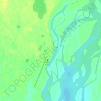
Name: Noatak topographic map, elevation, terrain.
Location: Noatak, Northwest Arctic, Alaska, United States (67.55003 -162.98961 67.59003 -162.94961)
Average elevation: 23 m
Minimum elevation: 16 m
Maximum elevation: 34 m
Thank you for supporting this site ❤️
Make a donation
Make a donation
Other topographic maps
Click on a map to view its topography, its elevation and its terrain.