
Werkendam topographic map
Interactive map
Click on the map to display elevation.
About this map
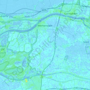
Name: Werkendam topographic map, elevation, terrain.
Location: Werkendam, Altena, Nordbrabant, Niederlande (51.72011 4.67630 51.82538 4.93843)
Average elevation: 1 m
Minimum elevation: -4 m
Maximum elevation: 32 m
Other topographic maps
Click on a map to view its topography, its elevation and its terrain.
Woudrichem
Niederlande > Nordbrabant > Altena
Woudrichem, Altena, Nordbrabant, Niederlande
Average elevation: 1 m