
Manthalhammer topographic map
Interactive map
Click on the map to display elevation.
About this map
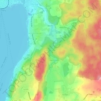
Name: Manthalhammer topographic map, elevation, terrain.
Average elevation: 629 m
Minimum elevation: 582 m
Maximum elevation: 700 m
Other topographic maps
Click on a map to view its topography, its elevation and its terrain.
Harkirchen
Deutschland > Bayern > Landkreis Starnberg > Kempfenhausen
Harkirchen, Kempfenhausen, Berg, Landkreis Starnberg, Bayern, 82335, Deutschland
Average elevation: 634 m