
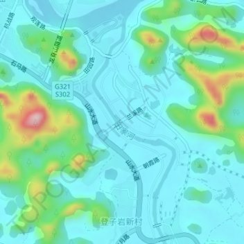
田家河 topographic map
Interactive map
Click on the map to display elevation.
About this map
Name: 田家河 topographic map, elevation, terrain.
Location: 田家河, 阳朔县, Guilin, Guangxi, China (24.74398 110.50224 24.77318 110.51294)
Average elevation: 153 m
Minimum elevation: 103 m
Maximum elevation: 362 m