
Hucking topographic map
Interactive map
Click on the map to display elevation.
About this map
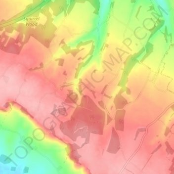
Name: Hucking topographic map, elevation, terrain.
Location: Hucking, Kent, South East, England, ME17 1QT, United Kingdom (51.27379 0.62433 51.31379 0.66433)
Average elevation: 153 m
Minimum elevation: 72 m
Maximum elevation: 198 m