
Ndoumbi topographic map
Interactive map
Click on the map to display elevation.
About this map
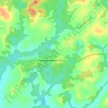
Name: Ndoumbi topographic map, elevation, terrain.
Location: Ndoumbi, Diang, Lom-et-Djérem, Région de l'Est, Cameroun (4.54241 13.54115 4.58241 13.58115)
Average elevation: 667 m
Minimum elevation: 645 m
Maximum elevation: 701 m