
Thank you for supporting this site ❤️
Make a donation
Make a donation
Stand Off topographic map
Click on the map to display elevation.
Thank you for supporting this site ❤️
Make a donation
Make a donation
About this map
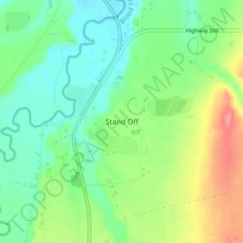
Name: Stand Off topographic map, elevation, terrain.
Location: Stand Off, Cardston County, Alberta, Canada (49.44171 -113.32009 49.48171 -113.28009)
Average elevation: 1,012 m
Minimum elevation: 984 m
Maximum elevation: 1,064 m
Thank you for supporting this site ❤️
Make a donation
Make a donation