
Thank you for supporting this site ❤️
Make a donation
Make a donation
Hycklinge topographic map
Click on the map to display elevation.
Thank you for supporting this site ❤️
Make a donation
Make a donation
About this map
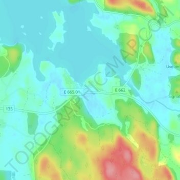
Name: Hycklinge topographic map, elevation, terrain.
Location: Hycklinge, Kinda kommun, Östergötlands län, Zweden (57.90340 15.90253 57.94340 15.94253)
Average elevation: 105 m
Minimum elevation: 83 m
Maximum elevation: 175 m
Thank you for supporting this site ❤️
Make a donation
Make a donation
Other topographic maps
Click on a map to view its topography, its elevation and its terrain.