
曹川镇 topographic map
Interactive map
Click on the map to display elevation.
About this map
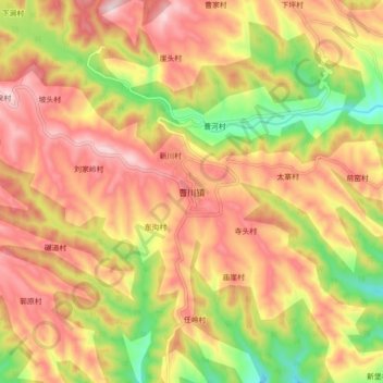
Name: 曹川镇 topographic map, elevation, terrain.
Location: 曹川镇, 平陆县, 运城市, 山西省, 中国 (34.86090 111.48095 34.94090 111.56095)
Average elevation: 548 m
Minimum elevation: 310 m
Maximum elevation: 735 m