
Thank you for supporting this site ❤️
Make a donation
Make a donation
Malheur County topographic map
Click on the map to display elevation.
Thank you for supporting this site ❤️
Make a donation
Make a donation
About this map
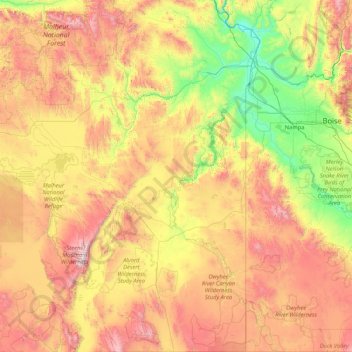
Name: Malheur County topographic map, elevation, terrain.
Location: Malheur County, Oregon, United States (41.99700 -118.23364 44.44446 -116.89380)
Average elevation: 1,361 m
Minimum elevation: 629 m
Maximum elevation: 2,910 m
Thank you for supporting this site ❤️
Make a donation
Make a donation