
Thank you for supporting this site ❤️
Make a donation
Make a donation
Landesgrenze topographic map
Click on the map to display elevation.
Thank you for supporting this site ❤️
Make a donation
Make a donation
About this map
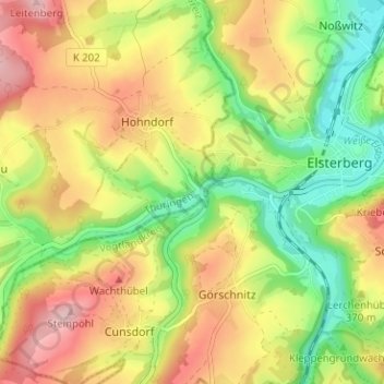
Name: Landesgrenze topographic map, elevation, terrain.
Location: Landesgrenze, Hohndorf, Greiz, Thüringen, 07985, Deutschland (50.58521 12.12366 50.62521 12.16366)
Average elevation: 353 m
Minimum elevation: 262 m
Maximum elevation: 449 m
Thank you for supporting this site ❤️
Make a donation
Make a donation