
Thank you for supporting this site ❤️
Make a donation
Make a donation
Kyunglung topographic map
Click on the map to display elevation.
Thank you for supporting this site ❤️
Make a donation
Make a donation
About this map
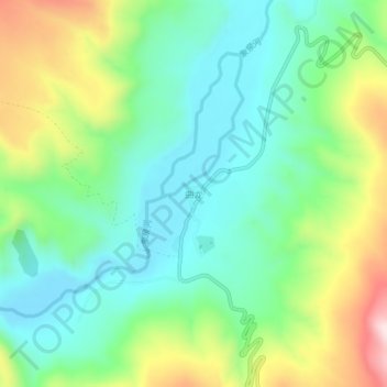
Name: Kyunglung topographic map, elevation, terrain.
Location: Kyunglung, Tsamda County, Ngari Prefecture, Tibet, China (31.05130 80.53854 31.09130 80.57854)
Average elevation: 4,346 m
Minimum elevation: 4,211 m
Maximum elevation: 4,631 m
Thank you for supporting this site ❤️
Make a donation
Make a donation
Other topographic maps
Click on a map to view its topography, its elevation and its terrain.