
Thank you for supporting this site ❤️
Make a donation
Make a donation
Arpadere topographic map
Click on the map to display elevation.
Thank you for supporting this site ❤️
Make a donation
Make a donation
About this map
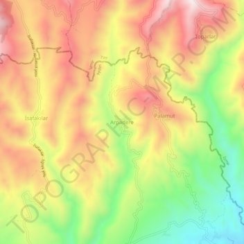
Name: Arpadere topographic map, elevation, terrain.
Location: Arpadere, İncirliova, Aydın, Aegean Region, Turkey (37.94896 27.70964 37.98896 27.74964)
Average elevation: 525 m
Minimum elevation: 187 m
Maximum elevation: 821 m
Thank you for supporting this site ❤️
Make a donation
Make a donation