
Thank you for supporting this site ❤️
Make a donation
Make a donation
Kalaghatagi topographic map
Click on the map to display elevation.
Thank you for supporting this site ❤️
Make a donation
Make a donation
Kalaghatagi
Kalghatgi is located at 15°11′N 74°58′E / 15.18°N 74.97°E / 15.18; 74.97. It has an average elevation of 536 metres (1758 feet). Kalghatgi is located 28 km from Hubli and 30 km from Dharwad.The Kalghatgi town is located on National Highway 63 (India) en route from Hubli to Ankola.
Thank you for supporting this site ❤️
Make a donation
Make a donation
About this map
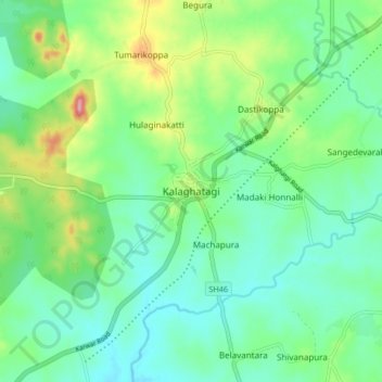
Name: Kalaghatagi topographic map, elevation, terrain.
Average elevation: 545 m
Minimum elevation: 509 m
Maximum elevation: 638 m
Thank you for supporting this site ❤️
Make a donation
Make a donation