
Thank you for supporting this site ❤️
Make a donation
Make a donation
Freudwil topographic map
Click on the map to display elevation.
Thank you for supporting this site ❤️
Make a donation
Make a donation
About this map
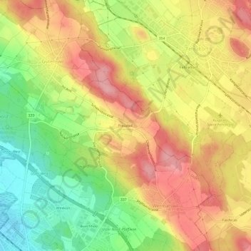
Name: Freudwil topographic map, elevation, terrain.
Location: Freudwil, Uster, Bezirk Uster, Zürich, 8615, Schweiz (47.35514 8.71520 47.39514 8.75520)
Average elevation: 528 m
Minimum elevation: 455 m
Maximum elevation: 591 m
Thank you for supporting this site ❤️
Make a donation
Make a donation