
Gerlosberg topographic map
Interactive map
Click on the map to display elevation.
About this map
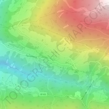
Name: Gerlosberg topographic map, elevation, terrain.
Location: Gerlosberg, Bezirk Schwaz, 6280, Oostenrijk (47.21325 11.91805 47.23325 11.93805)
Average elevation: 1,220 m
Minimum elevation: 712 m
Maximum elevation: 1,954 m