
Norwood topographic map
Interactive map
Click on the map to display elevation.
About this map
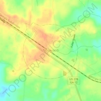
Name: Norwood topographic map, elevation, terrain.
Location: Norwood, Warren County, Georgia, United States (33.45500 -82.71400 33.47001 -82.69646)
Average elevation: 180 m
Minimum elevation: 157 m
Maximum elevation: 196 m
Other topographic maps
Click on a map to view its topography, its elevation and its terrain.
Jewell
United States > Georgia > Warren County > Jewell
Jewell, Warren County, Georgia, 31045, United States
Average elevation: 125 m