
Thank you for supporting this site ❤️
Make a donation
Make a donation
Mansi topographic map
Click on the map to display elevation.
Thank you for supporting this site ❤️
Make a donation
Make a donation
About this map
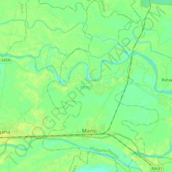
Name: Mansi topographic map, elevation, terrain.
Location: Mansi, Khagaria District, Bihar, India (25.47999 86.51266 25.61351 86.61284)
Average elevation: 37 m
Minimum elevation: 30 m
Maximum elevation: 46 m
Thank you for supporting this site ❤️
Make a donation
Make a donation